 Owlie
Shortest Route
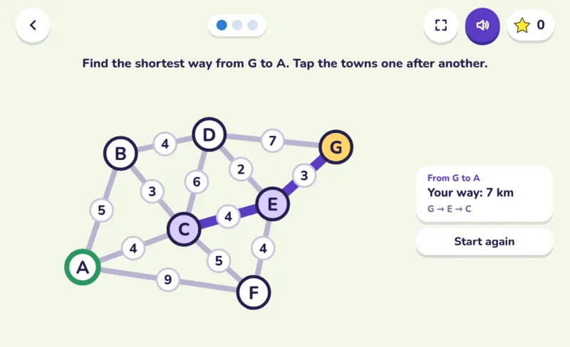
How does a sat nav find the quickest way? Your child plans trips on a little map of towns and roads, adds up the kilometres, then follows the very method route planners use, one town at a time, and finally designs the cheapest road network to join every town.
- 9–16 years
- Read aloud
- No ads
- EN · БГ · РУ · УК
What your child learns
- Adding distances along a route and comparing routes
- Dijkstra’s method: always go on from the nearest town not done yet
- The cheapest way to join every town, without loops
- How maps and sat navs work out a route
How to play
Tap the towns one after another, from the yellow start to the green finish; tap the last town again to step back. On level 2 every town shows its distance so far: tap the nearest one not done yet. On level 3 tap roads to build them.
Levels
- Level 1Find the shortest way from one town to another.
- Level 2Owlie’s way step by step: the nearest town not done yet goes next.
- Level 3Join all the towns for the fewest kilometres, with no loops.
A tip for parents
Plan a real trip together on a map: two ways to grandma’s, which is shorter? Then check what the sat nav says.
Works on phones, tablets and computers, with nothing to install. No ads and no tracking.
 Inheritance
 Battleship
 Human Body
 Typing Trainer